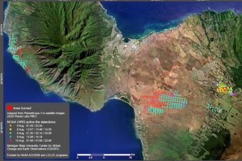
Interactive Map Explore Active Tropical Cyclones
The National Weather Service produces several data sets that are available in formats available to import into Geographic Information Systems (GIS). GIS is a collection of computer hardware, software, and geographic data for capturing, managing, analyzing, and displaying all forms of geographically referenced information. It takes the numbers and words from the rows and columns in databases and spreadsheets and puts them on a map
[google-map-v3 shortcodeid=”27321b6b” width=”750″ height=”750″ zoom=”12″ maptype=”satellite” mapalign=”center” directionhint=”true” language=”en” poweredby=”false” maptypecontrol=”true” pancontrol=”true” zoomcontrol=”true” scalecontrol=”true” streetviewcontrol=”false” scrollwheelcontrol=”false” draggable=”true” tiltfourtyfive=”true” enablegeolocationmarker=”true” enablemarkerclustering=”false” addmarkermashup=”false” addmarkermashupbubble=”false” kml=”http://www.nhc.noaa.gov/gis/kml/nhc_active.kml” bubbleautopan=”true” distanceunits=”miles” showbike=”false” showtraffic=”false” showpanoramio=”false”]


Leave a Reply